Advanced Drone Mapping
Explore Our ServicesOur Services
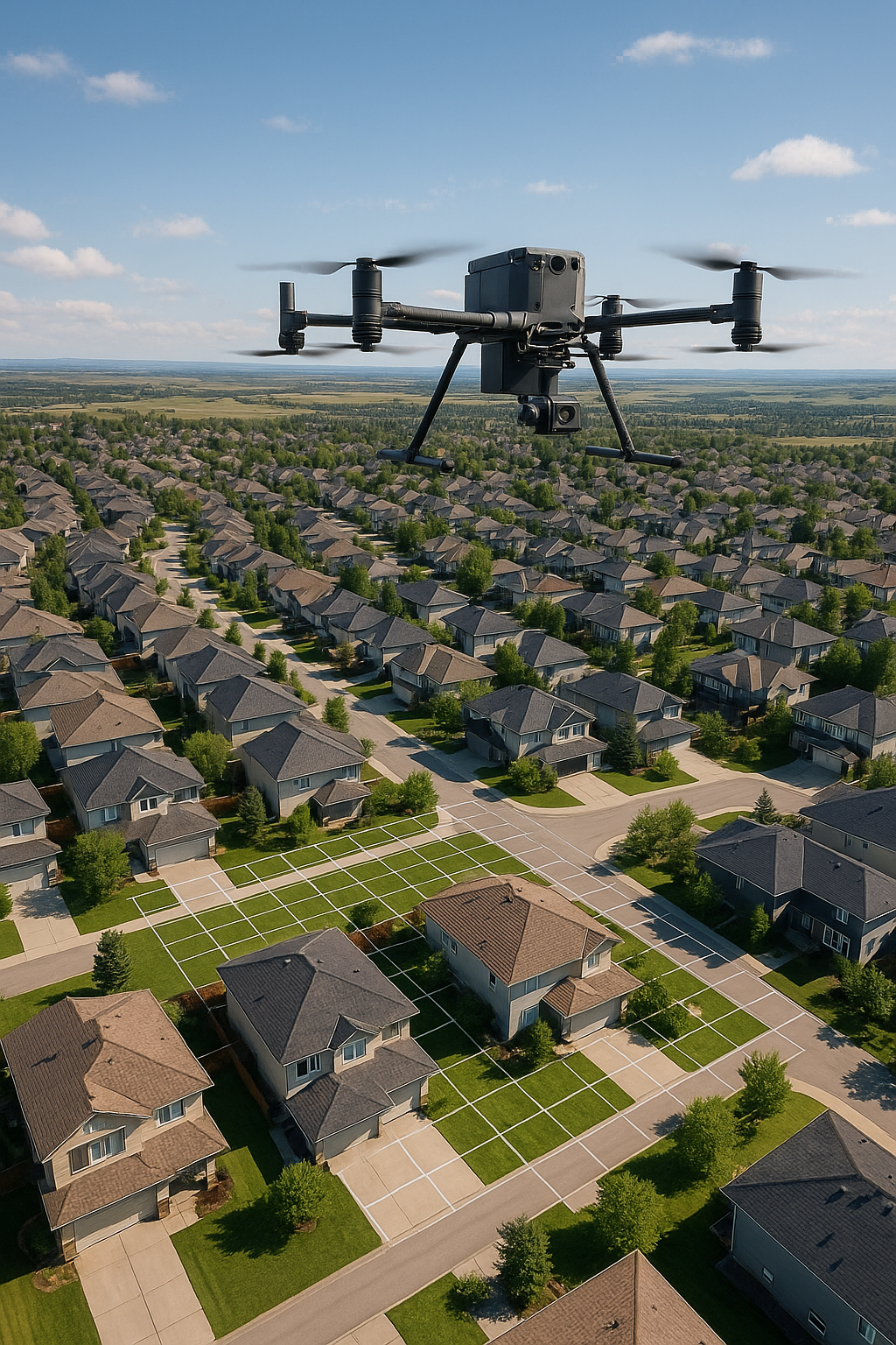
Large-Scale Drone Mapping
Comprehensive mapping solutions for extensive areas using advanced drone technology. We deliver high-quality products for large infrastructure projects, agricultural monitoring, and environmental surveys.
- Orthomosaic maps and aerial imagery
- Digital elevation models (DEMs)
- 3D point cloud data
- GIS-ready datasets
- Comprehensive survey reports
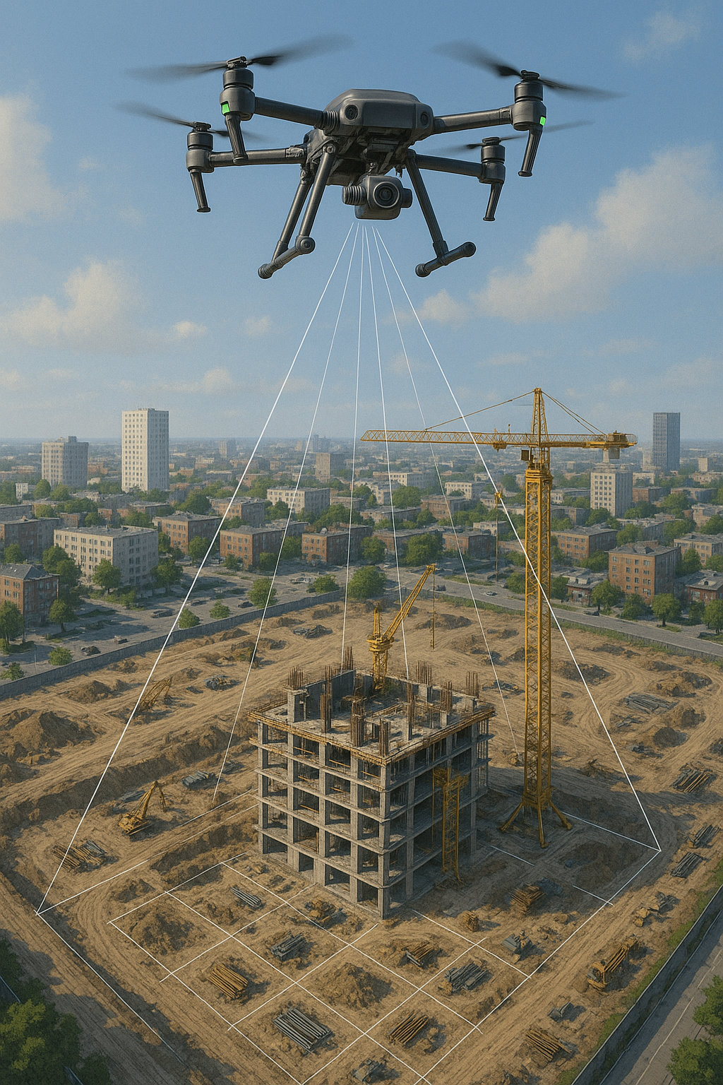
Mid-Scale Drone Mapping
Specialized mapping services for construction sites, solar panel farms, industrial facilities, and mid-sized projects using multiple sensor technologies for precise data collection and monitoring.
- Construction site Mapping
- Solar Farm Mapping
- Agricultural Field Mapping
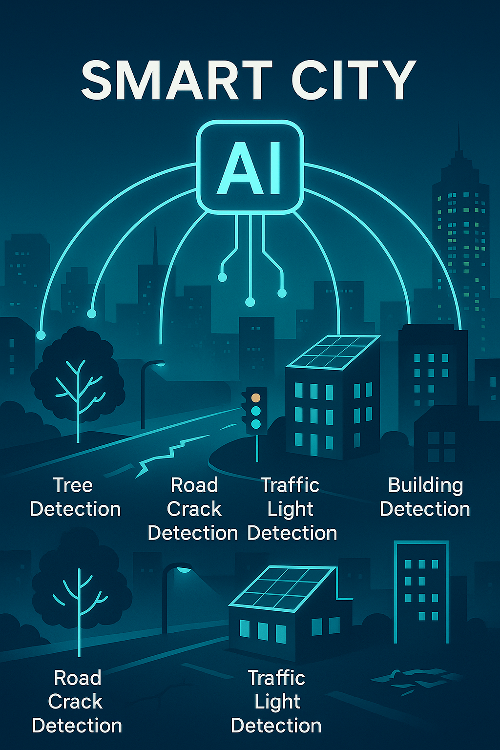
AI Products
Advanced artificial intelligence solutions that transform drone imagery into actionable insights through automated object detection, classification, and analysis.
- Automated object detection, extraction, and localization.
- Labeling services for various object types to support AI model training
- Infrastructure condition analysis
- Vegetation and environmental analysis
- Change detection and termporal analysis
- Custom AI model development and deployment
About Dronnix
At Dronnix, we combine the power of drone technology with artificial intelligence to revolutionize how businesses understand and analyze their environments. Our expert team specializes in creating custom AI models that can detect, classify, and extract valuable information from aerial imagery, transforming raw drone data into actionable insights for industries ranging from construction and agriculture to urban planning and environmental monitoring.