Mid-Scale Mapping Solutions
Precision drone mapping for construction, solar, and agricultural projects using advanced sensor technologies
Construction Mapping
Transform your construction projects with comprehensive drone mapping solutions. Our advanced technology provides real-time site monitoring, progress tracking, and precise measurements to keep your project on schedule and within budget.
What You Get
- 2D Maps: High-resolution orthomosaic imagery
- 3D Models: Detailed site reconstruction
- Volumetric Analysis: Stockpile calculations & earthwork measurements
- Mission Video: Comprehensive site documentation
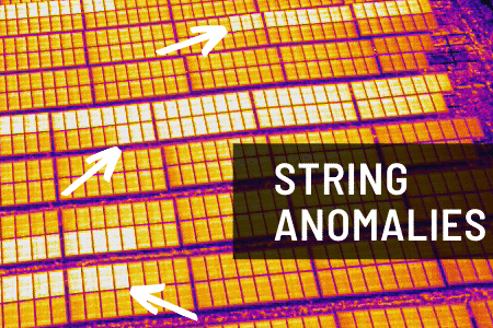
Solar Farm Mapping
Maximize your solar farm efficiency with thermal drone inspections. Our specialized thermal imaging technology quickly identifies malfunctioning panels, hot spots, and electrical issues, enabling proactive maintenance and optimal energy production.
What You Get
- 2D Thermal Maps: Complete farm thermal analysis
- Panel Health Reports: Individual panel performance data
- Hot Spot Detection: Identify electrical anomalies
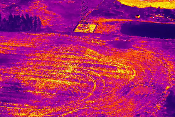
Agricultural Field Mapping
Revolutionize your farming practices with precision agriculture mapping. Using infrared and RGB sensors, we analyze crop health through NDVI calculations, enabling data-driven decisions for fertilization, irrigation, and pest management.
What You Get
- 2D Field Maps: High-resolution crop imagery
- NDVI Analysis: Vegetation health index calculations
- Infrared Imaging: Stress detection and water management
- RGB Mapping: Visual crop condition assessment